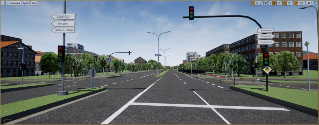
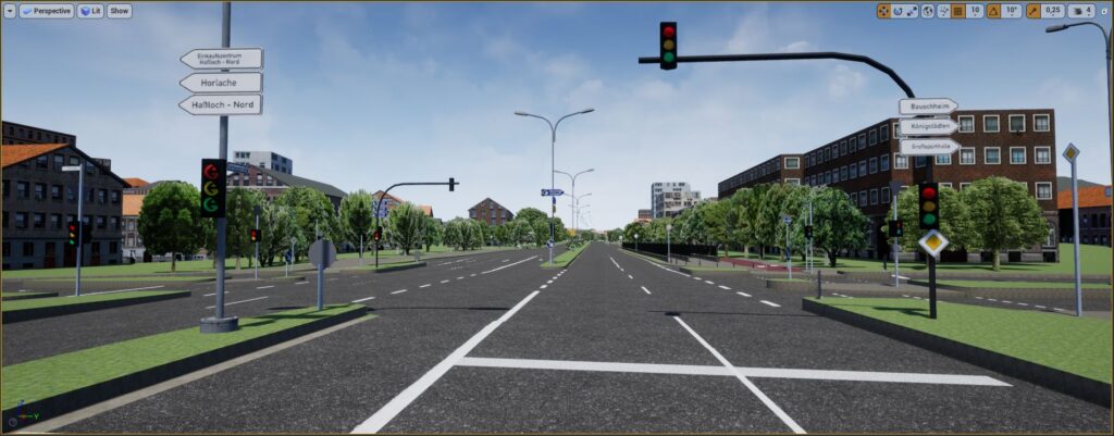
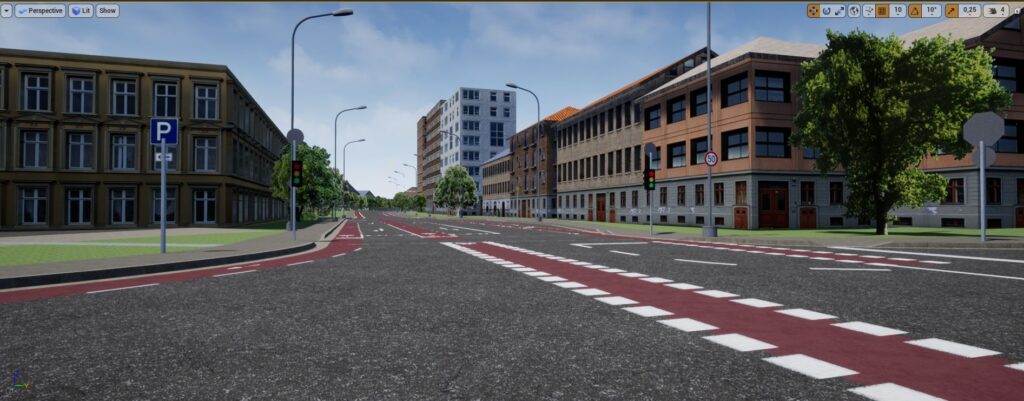
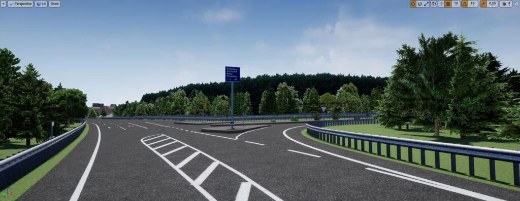
We have added a new database to our portfolio: Raunheim. In cooperation with 3D Mapping Solutions we have used highly accurate LIDAR scans to generate complex roads with a heterogeneous realistic environment for various target platforms. As a reseller of 3D Mapping Solutions GmbH data we can also offer OpenDRIVE, OpenCRG and Road5 formats.
• 2 x 11km of highway route and ca. 5km urban city route
• Markings, signs and signals, street furniture,… from OpenDRIVE data
• Detailed environment including buildings, vegetation,… from OSM data
• Adjacent roads and bridges (optical terrain extension out of the OpenDRIVE boundaries) from Here HD Live Maps data.