The collaboration will allow our customers to include maps from the 3D Mapping Solutions GmbH data library archives into their projects. These maps achieve a high precision accuracy (position < 2 cm, height < 5 mm) thanks to the company’s sophisticated data acquisition approach that includes kinematic measurement methods, high-tech special equipment, and lightning-fast synchronization.
The maps can be delivered in a variety of formats for misc. target platforms, as well as OpenDRIVE, Road5 and OpenCRG. They can too be combined with other environmental data in order to create the most realistic terrain models in any size, fully featured and ready to be used in your driving simulations. For more information contact us!
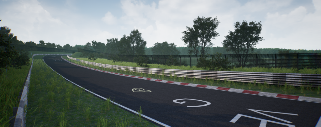
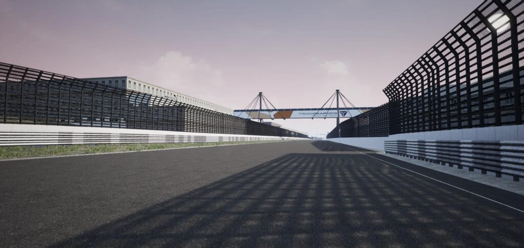
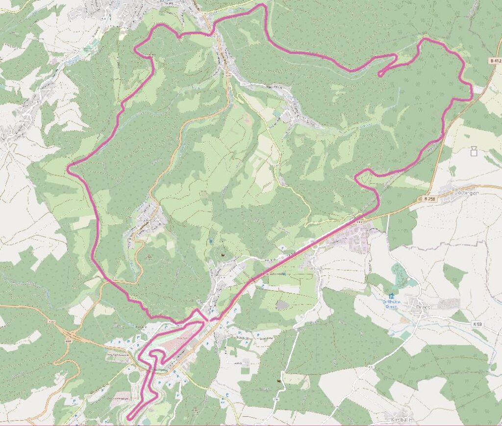
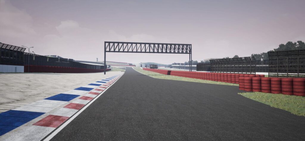
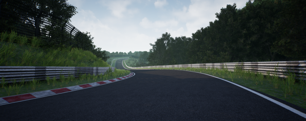
Product of our new partnership are the Raunheim database, that combines 5km urban city route with 2 x 11km highways; the Grand Prix race tracks Hockenheim, and the Nürburgring + Nürburgring Nordschleife, shown in the following pictures.